Cleveland, Ohio Northeast Ohio is expected to have a hazy and muggy Wednesday due to a cold front that brought showers and thunderstorms to the area on Tuesday.
Forecasters at the National Weather Service in Cleveland predict that as the front and related low-pressure system move east, there will be a lot of cloud cover, sporadic light showers, and patches of drizzle.
Periodically, lake-enhanced rain showers could persist into the evening, particularly in the snowbelt region. Forecasters warned that although the showers should stay light, a thunderclap is still possible.
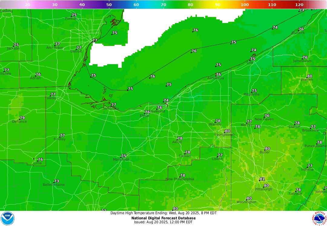
Wednesday’s highs will be in the upper 70s to over 80 degrees, while overnight lows will be in the 60s.
High pressure from Canada will start to move into the area by Wednesday night, which will aid in drying things up. Conditions on Lake Erie will be dangerous for boats and swimmers due to strong northeast winds.
On Thursday before noon, there may be a few persistent showers; otherwise, partly bright weather is anticipated. Lows will drop into the low to mid-60s, while highs will reach the mid-70s. Lows in the 50s are possible in several areas of Lake and Ashtabula counties.
Northeast Ohio will have sunny weather again by Friday, with highs close to 80 degrees and lows in the 60s.
Another cold front arrives this weekend
Before the next cold front hits Northeast Ohio, the clear sky will only last until Saturday.
Forecasters stated in a morning discussion that this cold front will signal a shift to unusually cool temperatures in the near future and might bring widespread showers and thunderstorms to the region.
Forecasters warned that if the front slows down or stalls over the area, heavy rainfall could cause localized flooding. Widespread showers and thunderstorms are also expected.
Before colder air comes in behind the front, Saturday’s high temperatures will be in the low to mid-80s.
Under a wide Canadian trough, Sunday and the first part of next week get considerably colder. Nighttime lows are often in the low 50s, while highs will only go to the upper 60s to low 70s. The temperature may potentially drop into the upper 40s in certain chilly areas.
With Canadian high pressure drying out any precipitation by Tuesday, lake-enhanced showers might persist until Monday, especially in the snowbelt.
More
weather
-
Lake Erie hazards: Swimmers urged to stay out of water, small craft advisory issued
-
Thunderstorms could bring downpours, strong wind gusts to NE Ohio Tuesday
-
Lake Erie water conditions: Calmer Tuesday before dangerous rip currents return


